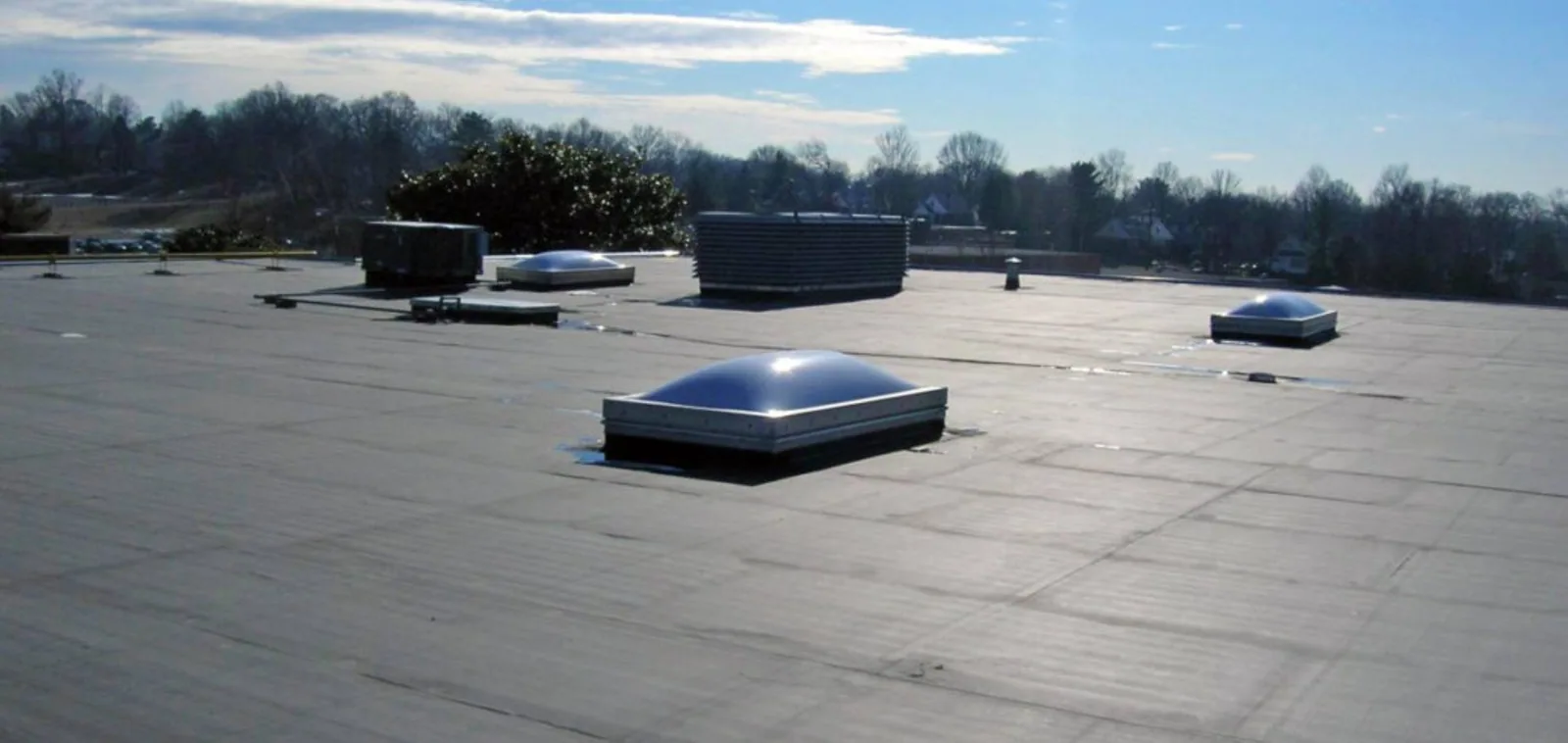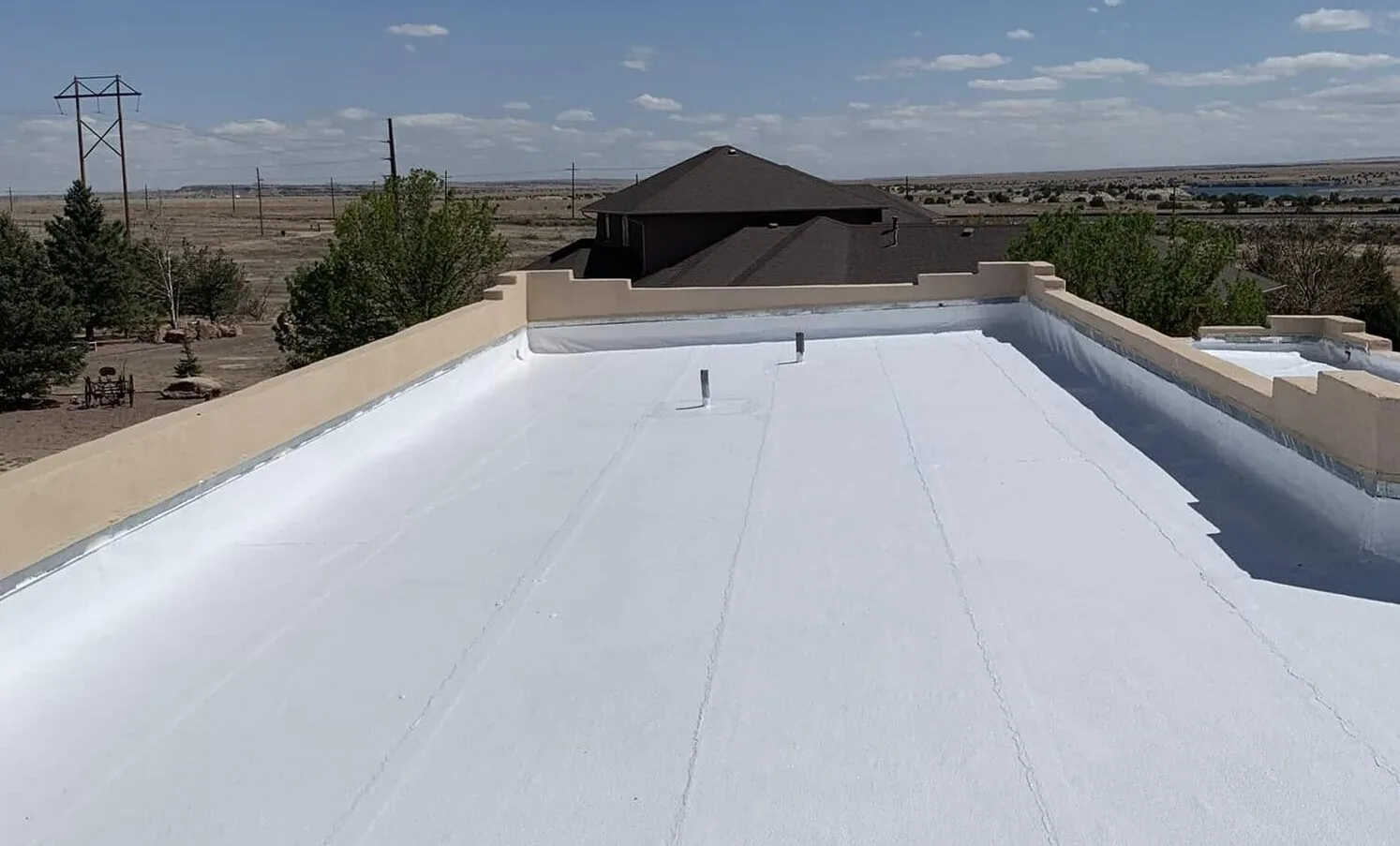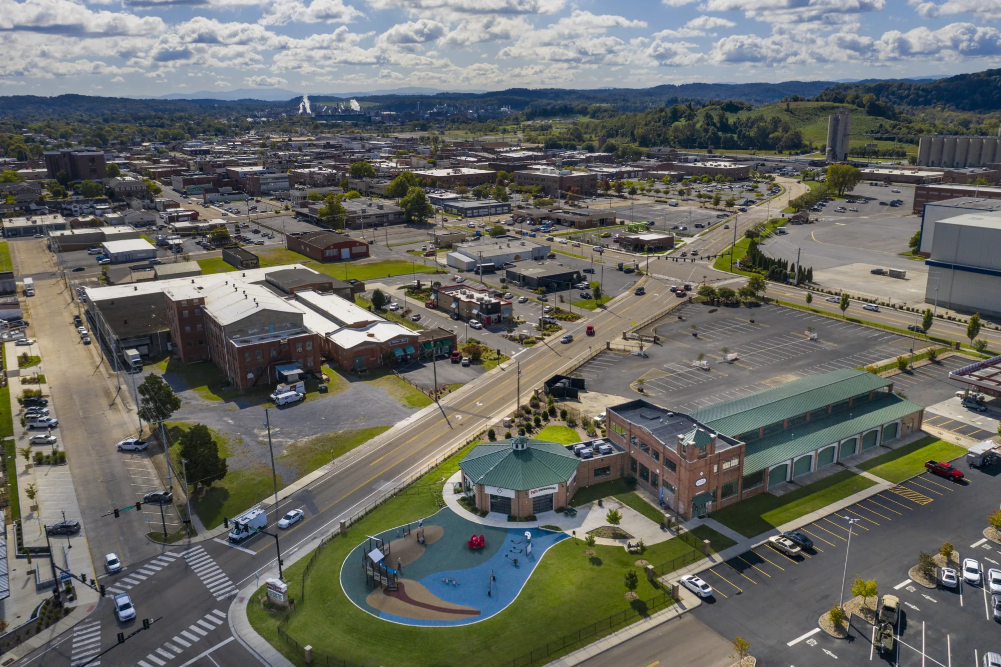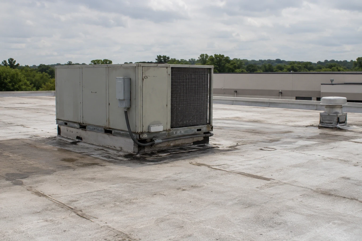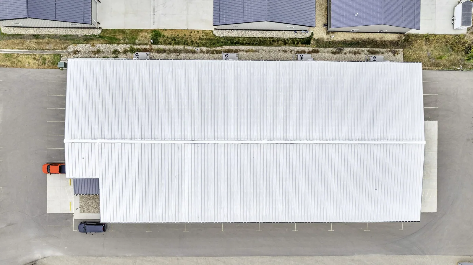
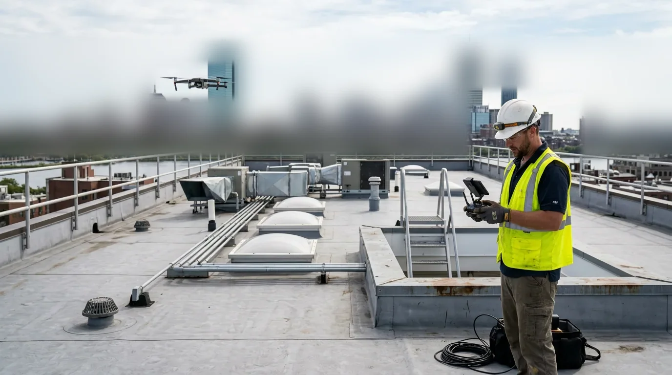
A drone flight over a Kingsport, TN roof is planned before the aircraft leaves the case. We check the airspace, confirm the launch point, note the obstructions and agree on a flight window with the building contact. Tri-Cities Regional Airport sits next to the city limits in Blountville, so airspace checks come first on any flight near Kingsport. The drone gathers images of an entire roof in a fraction of the time it takes to walk it, and those images give an owner a complete record. They also show areas that are unsafe or impractical to reach, such as steep sections, fragile skylights and roofs with no interior access.
Flight Planning and Airspace
Planning covers the roof outline, the height of nearby structures, power lines and the location of people on the ground. We choose a launch point that keeps the aircraft in sight and away from traffic. For sites near the airport, the airspace class and any required authorization are checked before the flight date is set.
The building contact receives the flight window and the launch location. Tenants and plant supervisors are told when the aircraft will be overhead. On an active industrial site, the pilot reviews the work zones and keeps the flight path away from cranes, truck lanes and people. The pilot also records the sun angle, since glare on white membranes can hide seams and staining. Weather also matters: wind, rain and low light degrade image quality, so we hold a backup date.
Capture Methods
The standard flight is a grid pattern at a fixed altitude, with overlapping images that form a map of the roof. A second pass at a lower altitude records details: drains, curbs, penetrations, seams and edge metal. Oblique shots of parapets and walls show conditions that vertical images miss. Each image carries its position, so findings can be placed on the roof plan.
For thermal work, an infrared camera records heat patterns at dusk or after sunset, when saturated insulation releases stored heat differently from dry areas. Thermal images flag suspect zones, and we then confirm them with core samples, as in an infrared moisture survey. A thermal image alone does not prove saturated insulation; the cores do.
What Imagery Shows and What It Does Not
Images show ponding, debris, open laps, lifted flashing, missing fasteners, displaced edge metal, surface staining and visible punctures. They show the layout of rooftop equipment and the condition of walkway pads. They also show roof geometry, which helps with drainage analysis and with measuring areas for a repair or replacement scope.
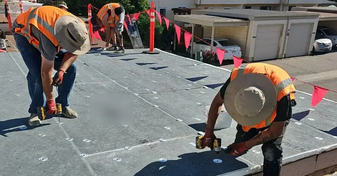
Images do not show seam strength, deck rust below the insulation or the dryness of the assembly. For those, a crew steps onto the roof with probes and meters. That is why a drone visit often feeds a commercial roof inspection on the same building, with the aerial data steering the hands-on work to the right spots.
Kingsport Conditions and Flight Windows
With measurable precipitation on about 133 days of the year, Kingsport leaves limited dry windows, so flights are booked around calm, dry periods. Wind limits the aircraft, and gusts of 60 mph named in county storm warnings are far beyond what a small drone can handle. Thunderstorms in summer and low cloud in winter close windows quickly.
After a storm, a flight is often the fastest way to see the damage. Those warnings also name hail, and aerial images help document impact marks, displaced membrane and debris across the roof. Because the roof is safe to view from the air, the crew can decide where to send people before anyone climbs, which matters on wet or iced surfaces.
Where Aerial Work Pays Off
Drone work pays off on roofs that are large, tall or complex. Large industrial roofs are where the aerial pass saves the most hours, and in the Kingsport area that can mean buildings in the Phipps Bend park or on the industrial land planned along West Stone Drive. A retail center on Stone Drive has many small roof levels and tenant units. For a manufacturing facility, an aerial record of the roof, equipment and drains supports manufacturing plant roofing decisions without a shutdown.
Aerial images also help owners with several buildings. A set of images from each site lets a manager compare conditions across the portfolio and rank which roof needs attention first, which is how a multi-site roof program gets its starting order.
The Findings Package
The package contains an orthomosaic map of the roof, annotated images with numbered findings and a short report. Each finding is placed on the plan and tied to a recommendation. Raw images are stored so that the owner, an insurer or a future inspector can review them. Each annotated image names the roof area, the detail type and the suggested next step, so a project manager can drop the finding straight into a work order.
Measurements come from the same data. Drain counts, curb locations, parapet lengths and ponding areas are measured from the map, which gives a repair or replacement scope a firm starting quantity before a crew sets foot on the deck. The same map shows roof levels and how water moves between them. Data handling is simple: images are delivered to the building contact, and we do not share them elsewhere. The package becomes the baseline for later flights, which show how conditions change from one year to the next. Pairing it with preventive roof maintenance turns the baseline into a working schedule.
Commercial Roofing Questions
Do you need permission to fly near the airport?
Airspace near Tri-Cities Regional Airport is controlled, and flights there need the proper authorization before takeoff. We check the airspace for every site, file for approval where required and set the date after the approval arrives. For sites outside controlled airspace, we confirm height limits and notify the building contact before the flight.
Can a drone replace a walked inspection?
It replaces the walk only on roofs that are unsafe to step onto. In most cases the drone narrows the search, and a crew then verifies the findings with probes and meters. This is faster than walking every square foot, and it keeps the crew's time on the spots that matter. The report states which method produced each finding.
What do tenants and plant staff need to know about a flight?
We tell the building contact the date, the window and the launch point, and ask that they pass the notice to tenants and shift supervisors. The aircraft stays over the roof and does not fly over people or active work zones. A site contact stays reachable by phone during the flight so the pilot can pause if conditions change.
How does thermal imaging work on a low-slope roof?
After sunset, saturated insulation holds heat longer than dry insulation, and an infrared camera shows that difference. The flight takes place on a clear evening following a warm day. Thermal results point to zones to test; core samples confirm them. Rain, wind and recent roof work can distort the pattern, so we note the conditions in the report.
How soon after a hailstorm can you fly?
As soon as the wind drops and the surface is safe to view, usually within a day or two. A fast flight records fresh impact marks before foot traffic and weather blur them. For an insurance file, dated images taken soon after the event strengthen the record. We then follow with a hands-on check of the worst areas.